interstate
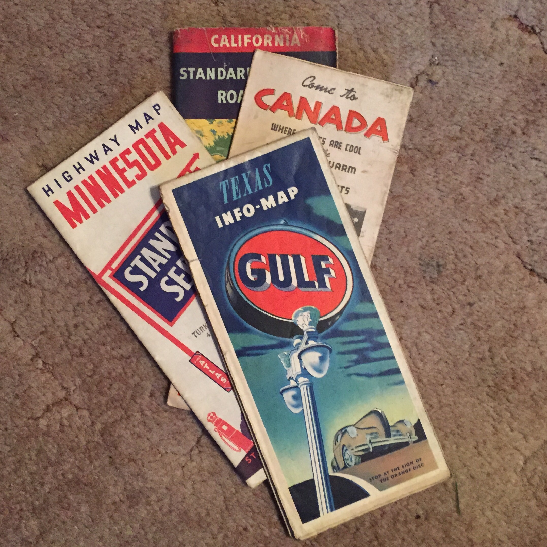
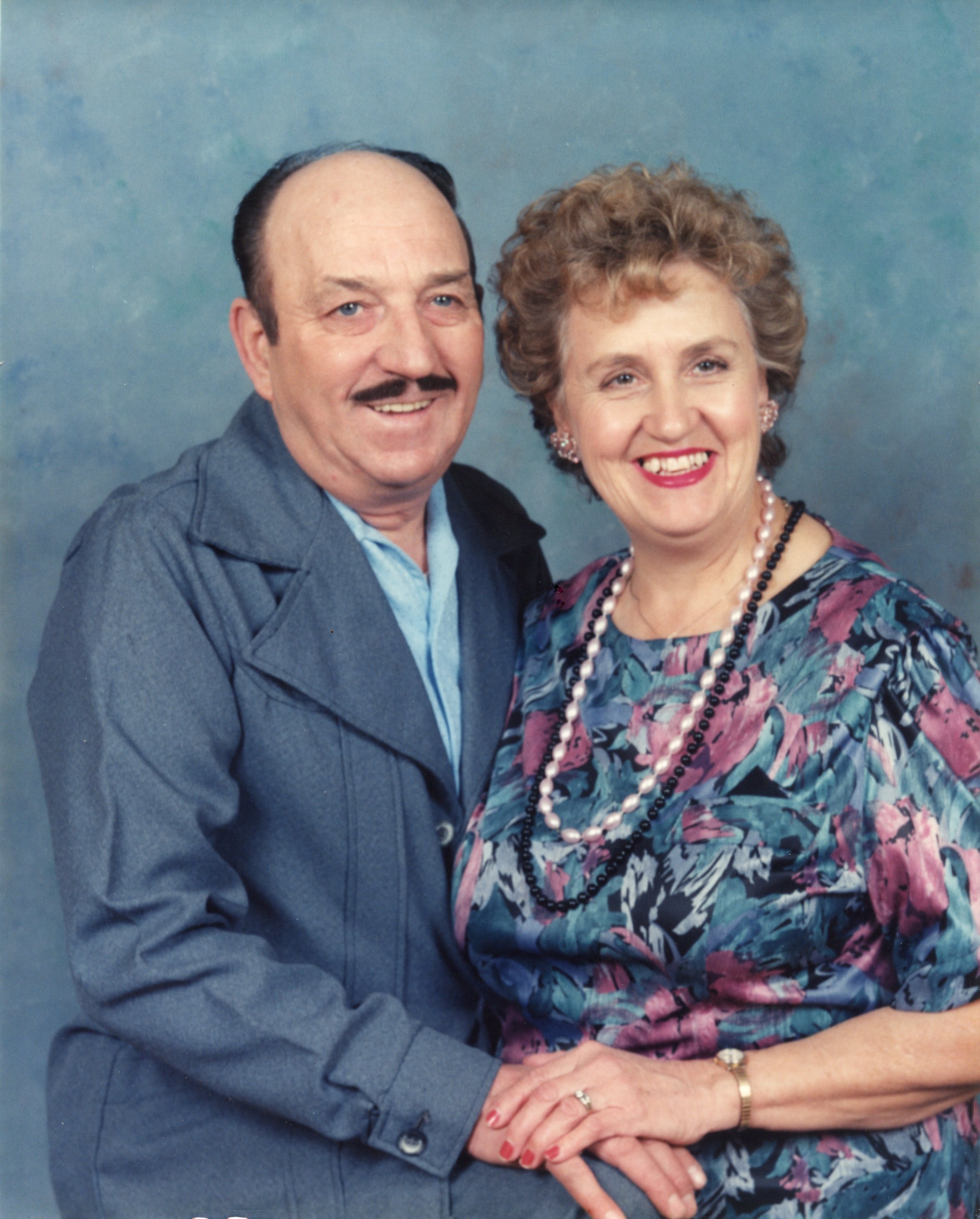 As we were going through our parents things after the passing of our mother, we came across several very old maps of different states, and also one that I received of London during World War II. It occurred to me that my sisters and I are a real novelty these days, in that we know how to read a map, and plan out a route to travel to anywhere we would like to go. I’m sure there are other people out there who can read maps too, but in this day and age of the GPS, many people can’t either. I’m all for technology, and I have a GPS myself, but I can also read a map, and that is because of my dad, and his determination to teach us that art.
Every year our family would take a vacation. Sometimes we didn’t travel very far, like the year we took a Wyoming tour, in several separate legs over the course of two weeks. Other times, we traveled quite a ways, like the years we went to visit our sister, Cheryl Masterson, while she was living in upstate New York. As students go, we were a novelty too, because every year when the teacher asked the inevitable question about what we did over the summer, we always had a story to tell. At the time, we didn’t 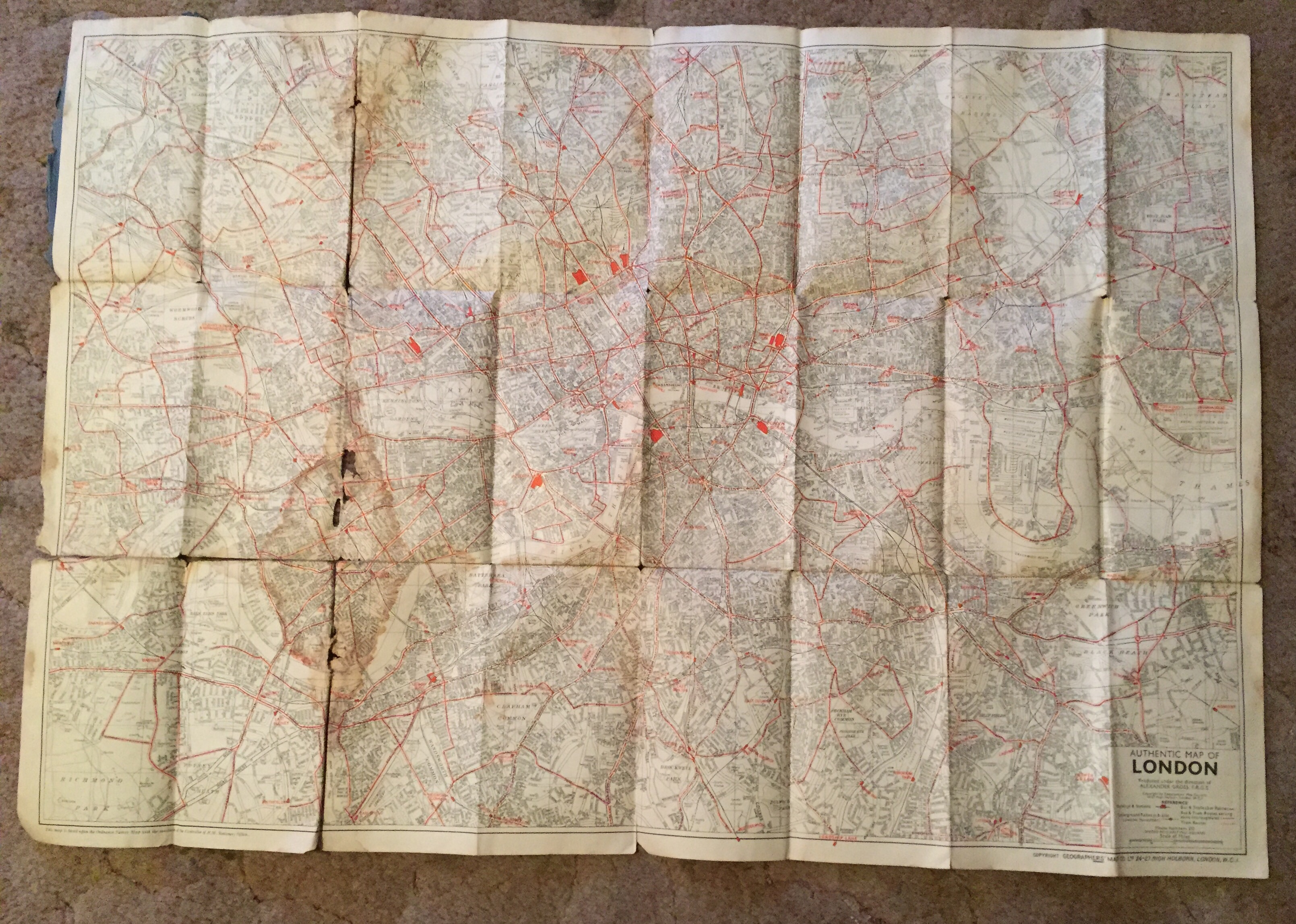 realize just how blessed…and how traveled we were, compared to other students in class. I always thought that everyone took a vacation, but that isn’t so. Many kids got to go visit a grandparent or some other relative, but going to the same place every summer isn’t really a vacation.
Our parents were so excited about our vacations every year, and we would often sit down and Dad would show us the route we were going to take on our trip. It was during these vacation planning sessions, that we learned to read a map, and that we learned to enjoy reading a map. The map was never confusing or complicated to us, because Dad showed us how to read it. We knew the difference between an interstate and a state highway. We knew how to pick out the larger cities, as opposed to the small towns. We knew what states and what towns we would be traveling through, and we knew how to find the sights that were located in the area that might be of interest. We knew how to find campgrounds in the area, and how to figure out how far we could easily travel in a days time. All these things are on a map, if you know where to look for them, and thanks to our dad, we did.
I suppose that many people wouldn’t think of a map as a treasure, but for my sisters and me, they really were. We all had to have some of them, and every time we look at them, they will serve as a reminder of those planning sessions, and of all those amazing vacations we took as kids, with our parents. I have no problem with the convenience of a GPS, and in the big cities my husband Bob and I travel to, they are a great help, but if my GPS ever failed, I could still get us there with a map. It is a legacy that our dad left for his daughters. It does make us a novelty, but it is something we are all proud to be able to do, and thankful that we had the parents we had. Their interest in travel, and Dad’s teachings on maps clearly enriched our lives.
 I have been intently watching the flooding this past week in Colorado, and especially Boulder, which is very near where my cousin Tim and his family live. Rain has poured into the state, and the flooding rivals the July 31, 1976 Big Thompson flood in many areas. In that flood, 12 to 14 inches of rain fell in 4 hours, flooding the canyon…144 people lost their lives, and 150 were injured. So far in this flood, only 4 people have died, thankfully, and hopefully that will be all, but only time will tell. Roads have been washed out, and I-25 is under water in some areas, causing it’s closure along with the closure of many other roads. Neighbors have stepped up to help save the homes of other people, some of whom they don’t even know, and often working for hours without even being asked. It has been a real show of the human spirit and its ability to care for those in need. Outside help is probably scarce, because no one can get there, leaving them somewhat isolated, except for helicopters that have been able to come in from other areas. Schools are closed, and many people have been told not to attempt to go to work. Two people were
 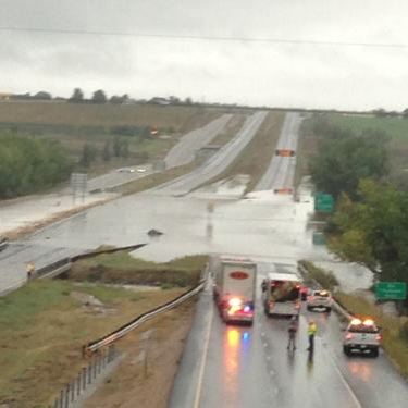 stranded in the mountains in whiteout conditions, because
 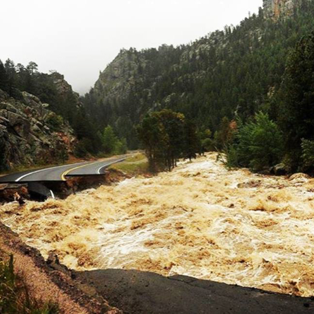 rescue resources were limited. They were rescued after 48 hours in the storm. Tim told me that the barrel they have in their back yard, to measure the rain, shows 10 inches over 3 days, with most of it coming over a 12 hour period. The huge snow storm in the mountains could cause continuing problems if it begins to melt.
This flood also reminded me of an old photograph in my grandmother’s album. I’m not sure where this taken, but it does appear that they had quite a bit of water. Sadly, in those days, homes weren’t sealed as well, and so I’m sure there was extensive damage. Add to that, the fact that they didn’t have some of the clean up tools and chemicals to prevent mold, and you have a recipe for a big mess. They also didn’t have warning systems to tell them of the possiblity of a flash flood, and there were may people who lost their lives in 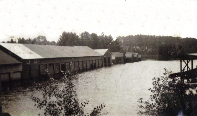 those situations. The things that have not changed over the years are the incredible human spirit and peoples’ will to survive. Neighbors will continue to help their neighbors, and people will fight to survive and rebuild their lives after each new disaster hits them. Floods are one of the most dangerous situations people can be in, and I am thankful that we have resources today to help more and more of them survive that danger. I will continue to pray for all those people who’s lives have been touched by the 2013 Colorado floods.

